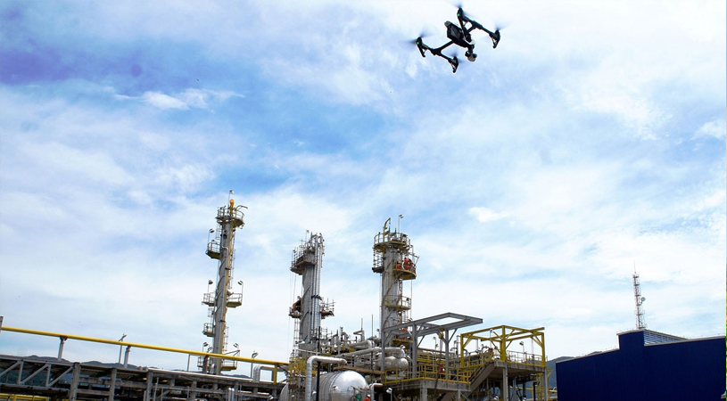
At RSEIKO Technologies, we provide cutting-edge drone solutions that transform how industries inspect, monitor, and analyze assets from the air. Our professional drone services deliver precise data, enhance safety, and improve operational efficiency.
Our certified drone pilots and advanced UAV technology ensure accurate, reliable, and cost-effective aerial solutions for various applications.
Drone Expertise
 Our Services
We provide professional drone services for various industrial and commercial applications
High-resolution aerial inspections for infrastructure, utilities, and industrial facilities with detailed reporting and analysis.
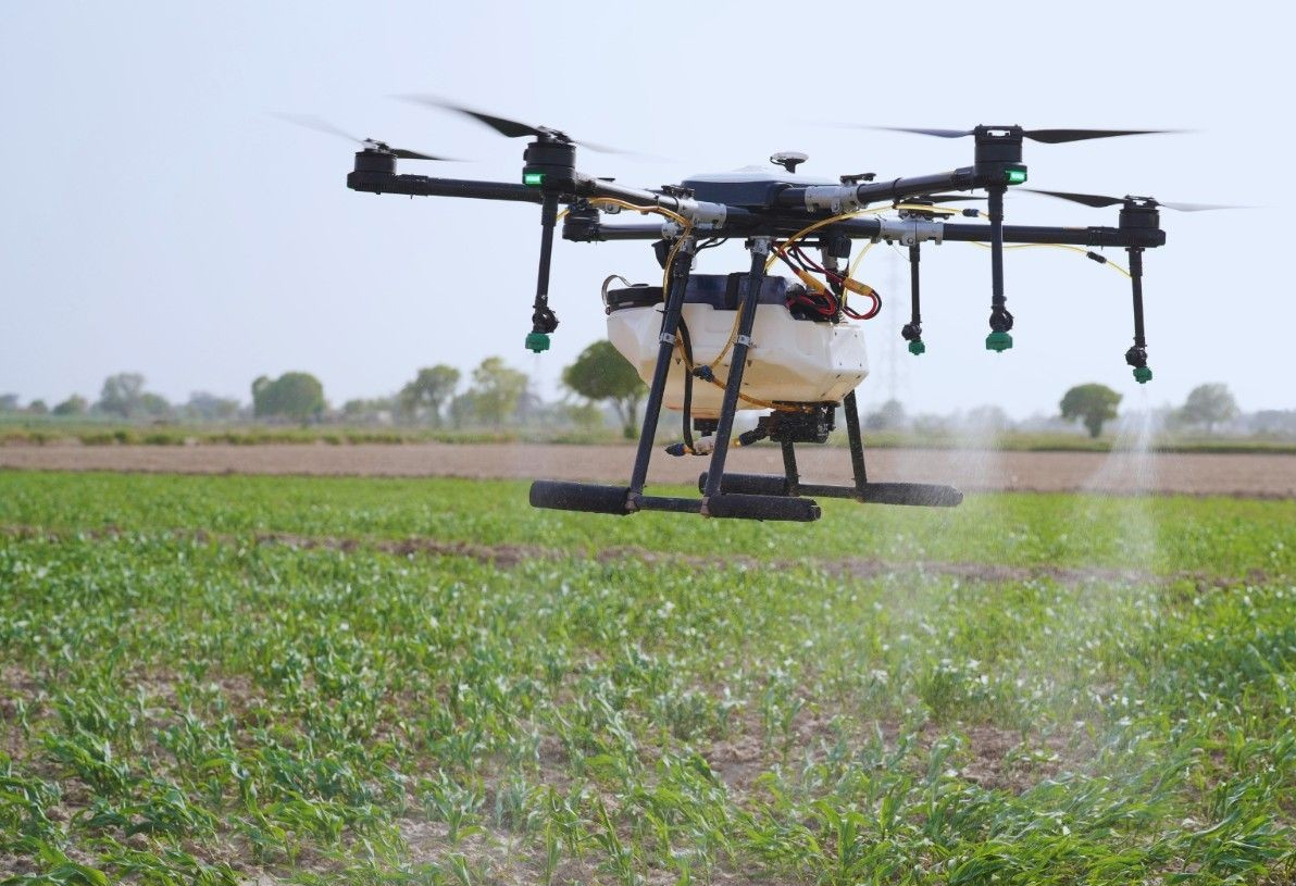
Precision agriculture solutions including crop health monitoring, soil analysis, and targeted spraying for optimal yield.
Continuous monitoring and assessment of critical infrastructure including bridges, dams, railways, and construction sites.
Rapid response drone services for disaster assessment, search and rescue, and emergency situation management.
High-precision 3D mapping, photogrammetry, and digital terrain modeling for planning and analysis.
Aerial security solutions for perimeter monitoring, event security, and critical asset protection.
Industries
Site surveying, progress tracking, volume calculations, and inspection services for construction projects.
Solar farm inspections, wind turbine monitoring, and renewable energy asset management.
Crop health monitoring, precision agriculture, forest management, and environmental conservation.
Power line inspections, pipeline monitoring, water treatment plant surveys, and telecom tower inspections.
Aerial cinematography, real estate photography, event coverage, and promotional content creation.
Law enforcement support, fire department assistance, disaster response, and emergency management.
Technology
4K video, 20MP+ still photography, and thermal imaging capabilities.
Real-time kinematic GPS for centimeter-level positioning accuracy.
FLIR thermal cameras for heat detection and night vision capabilities.
Extended flight duration drones with up to 60 minutes of operation time.